Voices from the field
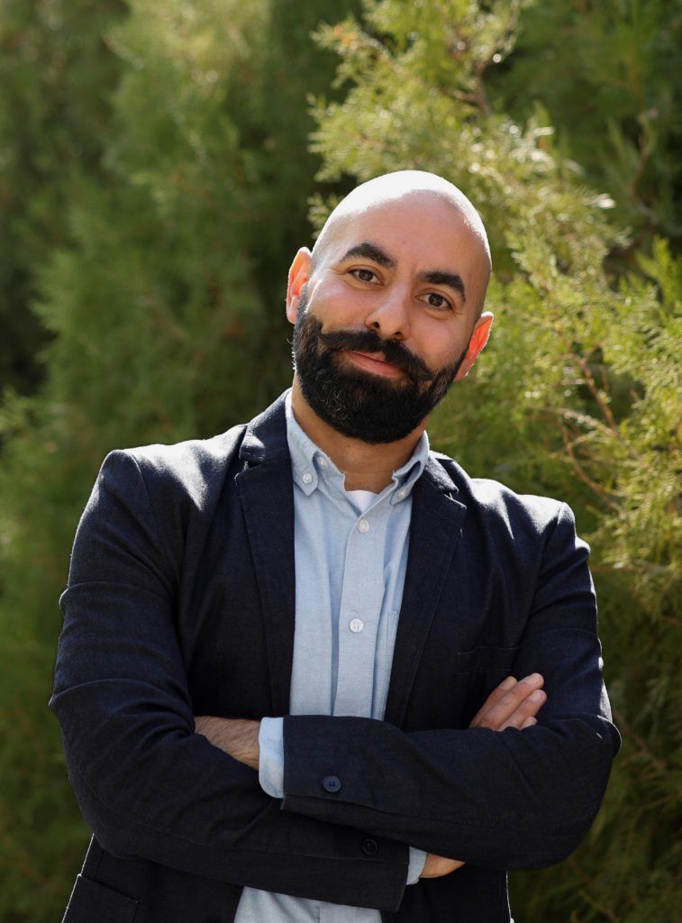
Garabet Kazanjian
How satellite images can help save water ecosystems
Can satellite images help save water ecosystems? Yes, they do. And the more people know about “reading” data, the higher the possibility to intervene and shield the environment. Especially young scientists and researchers.
The PONTOS project – implemented within the framework of the CBC Black Sea Basin programme – performs a Copernicus assisted environmental monitoring across the sea basin. Project partners have put in place a platform capable to automatically retrieve and manage satellite images, and to use existing maps from Copernicus and other repositories, to allow data download for end-users. The developed methodology was implemented to monitor pilot water areas in four countries: Ukraine, Georgia, Greece, and Armenia.
PONTOS aims to build use capacities of Copernicus products and services in a coordinated manner among public administrations, civil society organizations and private actors. An important specific target group is represented by young scientists and practitioners, who have received tailored trainings on environmental assessments and monitoring capabilities, using Earth observation products and methods.
Garabet Kazanjian is a young assistant professor at the American University of Armenia – a project partner – involved in monitoring activities of Lake Sevan. In the frame of the PONTOS project he is “fighting” the eutrophication which is slowly killing freshwater ecosystems. Because when lakes, rivers or other water bodies become enriched with too many nutrients, the amount of plants tends to accumulate. And if algae grow fast, light cannot penetrate through the water columns, leading to a domino effect: underwater plants start dying, then the oxygen in the system quickly decreases, and this leads to the disappearance of animal life and to the collapse of the whole system.
Listen to him talking about the benefits that PONTOS is bringing to the Black Sea basin, and what they mean for young researchers:
